The Abel Tasman Coast Track is located in Abel Tasman National Park on the northern shores of South Island. This 54.4 km track features all streams bridged, but there are tidal crossings that can only be navigated within a few hours on either side of low tide. The track typically takes three to five days to complete and can be walked from either end. There are huts and campsites along the way, available for a fee, and bookings are required. There is no charge for day walks. Visitors can enter the park from roadend carparks, take water taxis to beaches along the track, or kayak along the coast.
The nearest towns of Nelson, Motueka, and Takaka offer all amenities you will need and Kaiteriteri has a petrol station, a small grocery shop, accommodation, and a café. Marahau also offers accommodation, a shop, and cafés. Note that Takaka is the last place for petrol before reaching Totaranui.
The track runs from Marahau in the south to Wainui in the north.
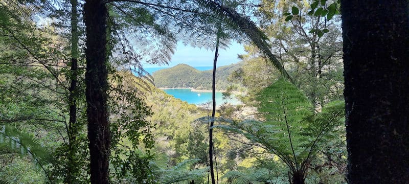
Starting at Marahau, the track passes through open countryside to Tinline Bay, then through beech forest with large kanuka trees, turning inland through several gullies. It offers views over Torrent Bay and the coast and islands to the north. Anchorage Bay has a hut and campsite.
Continuing north, the Torrent Bay estuary can only be crossed at low tide, though there is a high tide track around it. The track climbs steadily from Torrent Bay, passing above two valleys and crossing Falls River on a 47 m suspension bridge. It then descends through coastal forest to Bark Bay, which also has a hut and campsite.
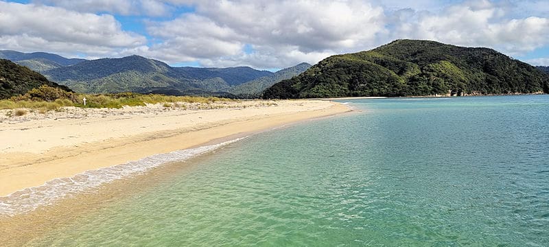
After crossing the Bark Bay estuary, the track passes through manuka stands and along the shore past remnants of a granite quarry at Tonga Quarry. Onetahuti Bay can only be crossed within three hours on either side of low tide. The track then climbs over Tonga Saddle and descends to Awaroa Inlet, which has a hut and campsite.
The Awaroa estuary can only be crossed at low tide. The track then climbs over a low saddle, descends to Waiharakere Bay, and continues through forest to Goat Bay. From there, it climbs to a lookout above Skinner Point before descending to Totaranui.
The track heads around the Totaranui estuary, climbs over a low saddle, and winds down through lush forest to Anapai Bay. From Anapai Bay to Mutton Cove, it passes through sandy beaches and rocky headlands of regenerating kanuka. The track then climbs to another saddle and descends to Whariwharangi Bay. From here, it follows a small stream, climbs to a saddle overlooking Wainui Inlet, and winds down to the shore, following the estuary edge to the carpark.
Extract abridged from track description at www.doc.govt.nz